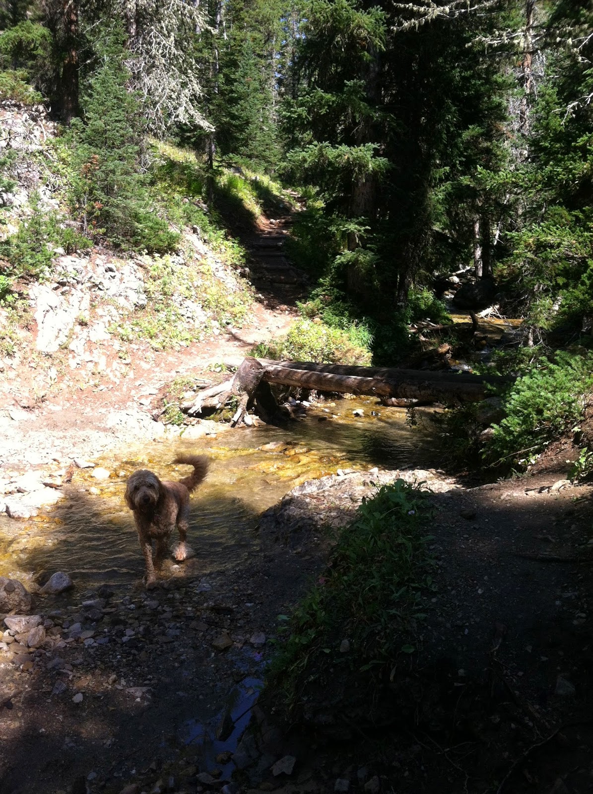
The North Fork Trail
I have lived in the area for 13 years and never hiked this
trail until last year. I enjoyed it so much that it is in my rotation of local
hikes. This trail can connect you to Beehive Basin, Bear Basin, Spanish Lakes
or Gallatin Peak for a long multi-day expedition.
To reach the trailhead, you will take an access road from
Lone Mountain Trail, marked with a brown sign for the North Fork trailhead. You
will pass through private property and eventually end up parking in a lot
across from the trailhead.
The first mile of the trail walks through private property,
follow the signage for the North Fork Trail. You might encounter horseback
riders on the trail, remember they have the right of way. It is a wide trail in
the beginning, which is great to hike with others and chat.
You will walk
mostly through forest in the beginning and will be above the creek. Eventually
the trail will split for the winter usage, take the right fork to continue on
the North Fork trail. About a mile and a half out you will come to a large log
bridge to cross the creek, in the spring the water can be very high and fast
here be careful crossing it.
After cross the wooden bridge the trail will become a single
track and meander next the creek. Take a peek in the creek and you will see
flecks of gold in the creek, actually fool’s gold or pyrite. Sorry you didn’t
strike it rich!
As you continue you will gain elevation, gradual in some
places and switchbacks in others. There are nice views of the cliffs and the ridgeline
as you hike up the basin.
Eventually you will climb to another split in the
trail. This split will bring you to Beehive Basin or up to the Spanish
Lakes/Gallatin Peak trail system.
At this point I was three miles out and
decided to turn around and head back to the car. If you have the time, add on
the extra hike to Beehive Basin Trailhead. I would park a car up there
otherwise it is an 18 mile out and back. If you have the time hike up into the
pass over to Spanish Lakes/Gallatin Peak and camping overnight. You can hike out
at Spanish Creek, Hell Roaring or Deer Creek Trails-all located on Hwy. 191.
On the Huffing and Puffing scale I would give it a 4.
Meghan’s
Huffing and Puffing Scale
1 = A piece of cake, I could hike this all day! (easy)
2 = Should I go farther…why not! (easy)
3 = Did I even sweat? (easy/moderate)
4 = A few switchbacks aren’t so bad (moderate)
5 = Thank god for the downhill sections (moderate)
6 = One switchback at a time (moderate/high)
7: Can’t talk, must breathe (high)
8 = Sweating and swearing a lot, but the view will be worth it! (high/extreme)


No comments:
Post a Comment